
Division of Hydrography, Oceanography and Marine Cartography

قسم الهدروغرافية و علم المحيطات و الخرائطية البحرية

Nautical cartography

  • Home
  • Nautical cartography
Cartographie marine

Nautical cartography

Being the National Hydrographic Office, the DHOC is responsible for producing nautical charts necessary to ensure the safety of navigation in waters under its national jurisdiction. Currently, the DHOC co-produces its charts in collaboration with the Shom (French Hydrographic and Oceanographic Service). The DHOC will be fully autonomous in this field, in 2021.

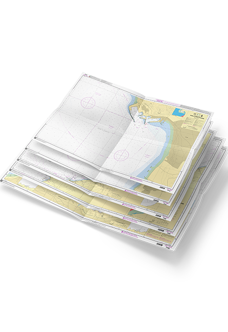
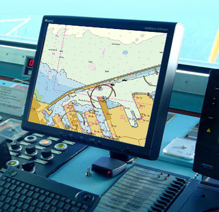
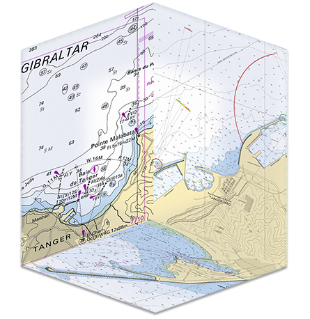
The nautical charts coproduced by the DHOC and Shom are mainly made using data coming from hydrographic surveys carried out by the DHOC and the Shom as well as other national and international partners. These charts are made according to the International Hydrographic Organization (IHO) standards and specifications. They are available in paper and electronic format (ENC).

Moreover, the DHOC keep up-to-date its products. In fact, the nautical paper charts are kept up to date through the notices to mariners released monthly by the DHOC. While, the ENCs are updated timely using update files made by the DHOC and distributed by PRIMAR.

Paper nautical chart

In order to ensure the safety of navigation in waters under national jurisdiction, the DHOC has established a cartographic schema made up of four categories:

Category1:Harbor charts

This category is used for navigation in narrow areas such as ports, channels and anchorages area. As a small-scale map, it has the scale more than 1:25 000.

Category2:Approach charts

These charts are intended for local navigation as well as harbor approaches, covering up to 5 nautical miles. They are compiled at an average scale of 1: 50 000.

Category 3:Coastal charts

This category comprises a chain of charts, intended for coastal navigation within 10 and 20 nautical miles from the coast. The average scale, at latitude 30º 00 '00 " N, is 1 :150 000.

Category4:Sailing charts

They provide a safe navigation in coastal area, within 20 and 50 nautical miles from the coast. They are compiled at a scale of 1 :350 000.


Raster charts


The DHOC can also provide the Raster charts, which are the digital images of the paper nautical charts. Raster charts are available and can be provided in PDF format.

Carte marine papier
ENCs

Electronic Navigational Charts (ENCs)

Electronic Navigational Charts (ENCs) are vector charts made by S-57 format cartographic data. They are compiled from the same data used to produce the paper nautical charts.

The ENCs produced are classified according (06) scale categories :

Overview : Scales are less than 1:1 500 000.

General : Scales are comprised between1 :350 000 and 1 :1 500 000.

Coastal : Scales are comprised between1:90 000 and 1:350 000.

Approach : Scales are comprised between1:22 000 and 1:90 000.

Harbor : Scales are comprised between1:4 000 and 1 :22 000.

Berthing : Scales are greater than 1:4 000.